MAPS!!!! ALOT OF MAPS!!!!
Wednesday, August 25, 2010
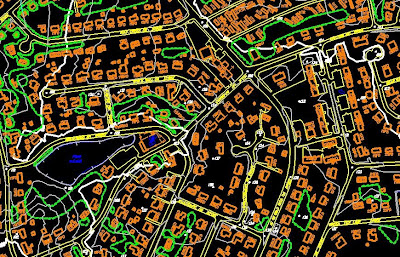
Topogrphic map
Source Link
This map shows the spacial orientation of objects as well as a scale that shows different elevations of the ground. These are mostly used for transportation projects. The scale used in this picture is 1 inch = 100ft.
No comments:
Post a Comment
Newer Post
Older Post
Home
Subscribe to:
Post Comments (Atom)
No comments:
Post a Comment